What is the purpose of Indian satellites?

The Indian space program, spearheaded by the Indian Space Research Organisation (ISRO), maintains a vast and diverse constellation of satellites serving multiple critical national needs. These space assets are not merely scientific novelties; they form the essential infrastructure underpinning modern governance, commerce, and societal safety across the subcontinent. The core purposes span telecommunications, weather forecasting, resource management, disaster mitigation, and providing indigenous navigation capabilities.
# System Overview

The Indian National Satellite System (INSAT) stands out as a foundational architecture in India's space utilization history. Established in the early 1980s, INSAT was conceived as a multi-purpose satellite system designed to support various services simultaneously, rather than deploying separate, single-purpose satellites for each need. This approach aimed for efficiency and broader national utility across different sectors. The INSAT system covers sectors like telecommunications, television broadcasting, and meteorology. While INSAT has been a cornerstone, ISRO's portfolio has expanded significantly to include dedicated constellations for remote sensing and navigation. This evolution shows a shift from multi-purpose service providers to highly specialized missions that tackle specific scientific or security challenges.
# Communication Backbone

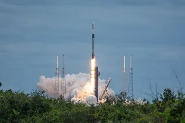
A primary function of many Indian satellites is maintaining robust communication links across the nation. The INSAT system plays a vital role here, providing vital connectivity services. These satellites ensure that television signals reach even the most remote corners of the country, supporting national outreach and education initiatives. Furthermore, they support various other telecommunication services essential for running government and private infrastructure. Recently, the operational goals continue to advance with the deployment of next-generation communication satellites, such as those launched via the powerful LVM3 rocket, indicating an ongoing commitment to upgrading data throughput and service quality.
# Earth Monitoring
Satellites dedicated to Earth observation form another major pillar of the national space effort. These instruments constantly survey the Earth's surface, providing data crucial for environmental monitoring, agriculture, and most critically, disaster response. Missions are designed to track natural phenomena, manage water resources, and monitor land use changes.
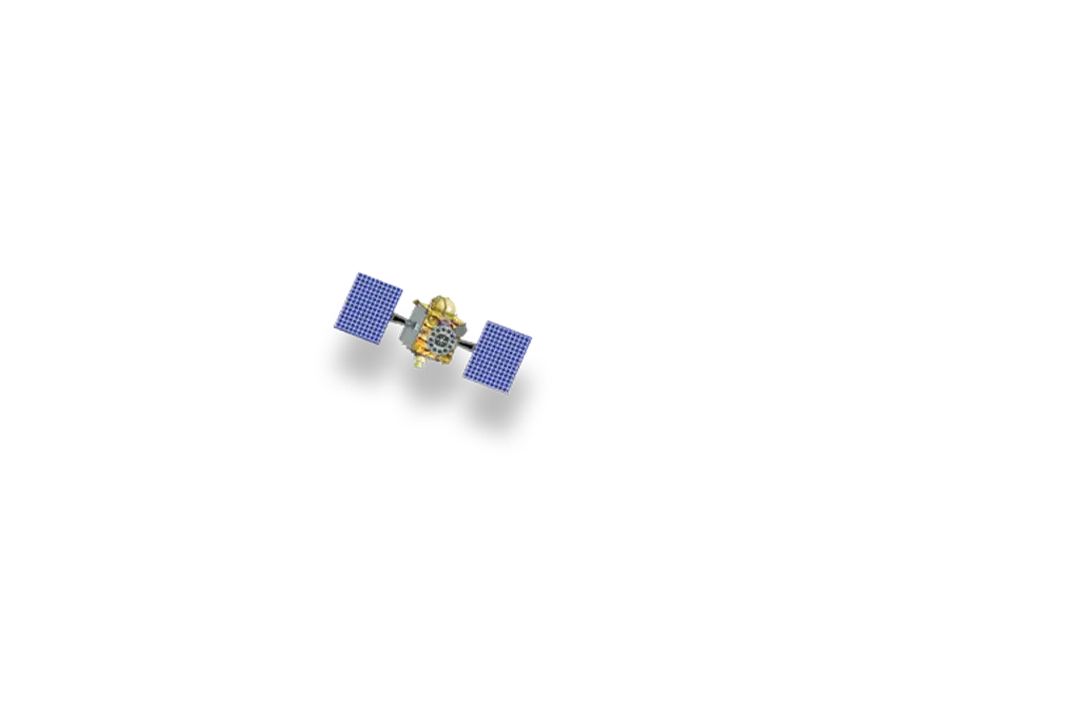
One prominent example of this specialized observational capability is the NASA-ISRO Synthetic Aperture Radar (NISAR) mission, a joint effort between NASA and ISRO. NISAR is specifically engineered to track minute changes on Earth's surface over time. It employs two separate radar bands to create detailed, high-resolution images regardless of cloud cover or darkness. This level of detail allows scientists to monitor subtle ground movements, which is critical for assessing earthquake risks, volcanic activity, and landslide potential. The collaborative nature of NISAR, combining international expertise, highlights a trend where India is moving towards complex, large-scale scientific endeavors that require multinational partnership to achieve cutting-edge Earth science data.
The strategic advantage of Earth Observation satellites is perhaps most clear during crises. For instance, a satellite imaging a coastal area post-cyclone can provide immediate, actionable data to rescue teams, something that ground-based infrastructure, if damaged, cannot offer. This 'eyes in the sky' capability is an irreplaceable element of modern disaster management protocols.
# Navigation Goals

Beyond communication and observation, providing an indigenous system for positioning, navigation, and timing (PNT) is a major national objective. While specific details about all operational navigation systems are housed within ISRO’s portfolio, the focus is on ensuring that critical services are not dependent on foreign constellations. Furthermore, the ambition extends into future digital connectivity. Ideas developed through national challenges, such as an Indian satellite internet concept topping a NASA space apps competition, suggest that the satellite network is seen as the key infrastructure for achieving universal, high-speed internet access across the entire geographic expanse of India. This bridges the gap between raw space technology and direct societal benefit, aiming to connect underserved populations.

# Launch Systems
The purpose of the satellites is intrinsically linked to the capability to place them into orbit, which necessitates reliable launch vehicles. The Launch Vehicle Mark-3 (LVM3) is central to deploying heavier communication and observation satellites into their intended orbits. The successful deployment of these assets, often involving next-generation payloads, relies on the consistent performance of the launch platform. The ability to self-launch major spacecraft reduces dependency on international launch providers, adding a layer of strategic autonomy to the entire space program.
# Scientific Advancement
While the bulk of the program focuses on practical applications, scientific inquiry remains a core driver. Satellites are launched to conduct research in areas like astronomy, planetary science, and space physics. These missions contribute to fundamental knowledge and often act as confidence-building measures for developing more complex indigenous technologies for future deep-space endeavors. The data gathered from these dedicated science missions often informs the design and requirements for the next generation of applied satellites, creating a virtuous cycle of technological progression.

# Strategic Evolution and Integration
The diverse set of missions demonstrates that the purpose of Indian satellites is multi-faceted, moving beyond foundational services like basic TV broadcast to highly sophisticated global monitoring and niche applications. When comparing the multi-service mandate of the older INSAT system with the singular focus of a mission like NISAR, one sees an institutional maturity. The older model prioritized coverage across various service domains using one platform, whereas newer missions prioritize maximum performance in a single domain, such as centimeter-level ground displacement tracking.
A key insight emerging from this portfolio is the subtle but clear prioritization of data ownership and security. Having national control over communication links and PNT data, even through collaborative projects where data access is defined upfront, ensures that essential national functions are insulated from geopolitical uncertainties affecting third-party satellite services. This is especially relevant when considering the pursuit of large-scale satellite internet projects, which represent a direct bid for national digital sovereignty. The continuous development and enhancement of these independent capabilities underscore a strategic long-term vision where space assets are seen as non-negotiable national security and development multipliers.
#Videos
Explained: How ISRO's Satellites are protecting Indian citizens 24/7
Related Questions
#Citations
Indian National Satellite System - Wikipedia
5 Things to Know About Powerful New U.S.-India Satellite, NISAR
Indian Satellite Programme - ScienceDirect.com
Satellites - ISRO
Explained: How ISRO's Satellites are protecting Indian citizens 24/7
Indian National Satellite system - Britannica
ISRO's LVM3 to launch next-generation communication satellite on ...
Powerful New US-Indian Satellite Will Track Earth's Changing Surface
Indian Satellite Internet Idea Tops NASA Space Apps